 beachrealtors.com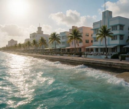
South Beach, Miami
Post-1980s FEMA map revisions in South Beach redefined flood risk zones and reshaped development limits affecting listings, licensing, and capital planning.
Read more →Coastal real estate transactions demand more than maps and metrics—they require intimate knowledge of how tide lines shift driveway access, how FEMA zones reconfigure property rights, and how local ordinances respond to decades of storm and sea-level change. This section unpacks hyperlocal coastal patterns that shape everything from renovation feasibility to long-term equity, drawing from decades of built-environment adaptation across key metro corridors.
Post-1980s FEMA map revisions in South Beach redefined flood risk zones and reshaped development limits affecting listings, licensing, and capital planning.
Read more →
Santa Barbara’s oceanfront corridor imposes seismic, environmental, and access-specific rules shaped by geology and narrow coastal footprint constraints.
Read more →
Harborside’s landscaping, screening, and development rules respond to tidal patterns and hurricane risk, with moratoriums varying sharply by street-level zoning.
Read more →Questions or ideas about beachrealtors.com? Send a note and we will get back to you.