 beachrealtors.com
Back Bay Marshlands
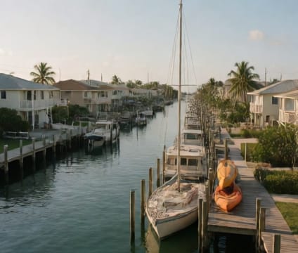
Wetland buffers limit construction and expansion while offering serene views over tidal creeks in protected back bay zones.
Back bay properties sit behind the berm or dune line, often separated from ocean access by a narrow strip of land. Strict environmental regulations mean few new builds or major additions are allowed within 50 to 100 feet of tidal marsh edges, depending on local ordinances. These buffers protect nesting grounds and filter runoff, but also shape what you can build, modify, or even fence. Understanding the exact jurisdictional boundary—often verified by USFWS or state surveys—is essential before purchasing or planning upgrades.
Because development is constrained, existing homes here are often set back significantly, offering privacy and open sightlines over salt marshes and creeks. Residents typically adapt layouts to the site rather than alter the land, using elevated decks and glass walls to frame water views without disturbing native vegetation. Waterfront access may come via boardwalks or shared paths rather than direct bay-front lawns, reinforcing the balance between habitat and enjoyment.
Flood zones in these areas are often V or VE, meaning higher base flood elevation requirements and stronger foundation rules. Insurance premiums reflect the exposure, and some older structures may be grandfathered under earlier codes. Buyers should request a current flood map and consult with local surveyors to understand how proposed modifications align with current permitting standards, especially in buffer-sensitive zones.