 beachrealtors.com
North Topsail Beach, NC
Narrow, waterfront-to-sound lots in North Topsail Beach reflect legacy land divisions that predate modern commercial zoning and infrastructure lines.
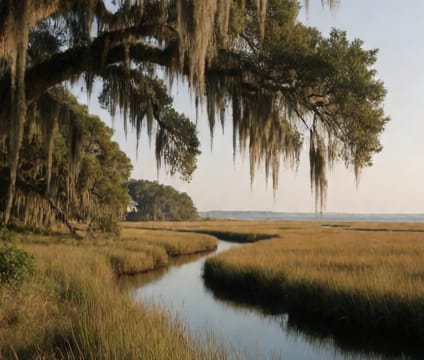
Most parcels trace back to post-Civil War sea claim grants, where land was awarded for military service and measured in narrow frontages along both the ocean and sound shorelines. These strips rarely exceed fifty feet wide at the oceanfront but can stretch over a thousand feet to the sound side. The lack of commercial zoning means no retail districts, motels, or high-density builds—homes are set on these long lots, often with secondary structures like boathouses or dune shelters on the sound end.
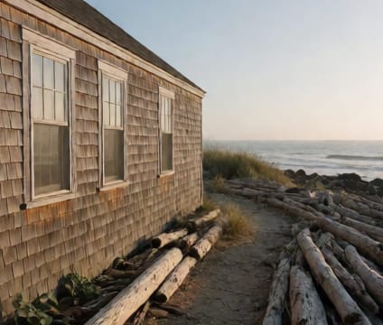
Oceanfront setbacks follow the state’s baseline system, which records the mean high tide line every five years. Sound-side structures must comply with separate buffers over tidal wetlands, and no new seawalls are permitted—only repair of existing armor. Utility lines run parallel to Coast Guard Road, the main north-south spine, but many lots still rely on wells and septic systems due to limited public water lines. Beach access is via several numbered public ramps, each with tide-schedule parking and seasonal dune walks.
Because the town annexed all oceanfront and soundfront land early, unincorporated parcels are now rare. Development is capped by lot width and setback rules, and new construction requires elevation above 17 feet NAVD88. Fire and EMS respond with all-terrain vehicles on beach and dune trails where paved roads stop. Many residents use small boats or kayaks to reach the sound marshes, especially near certain tidal creeks.