 census.com
Core-Based Statistical Areas
Core-Based Statistical Areas standardize urban region definitions for consistent analysis of metropolitan and micropolitan economies.
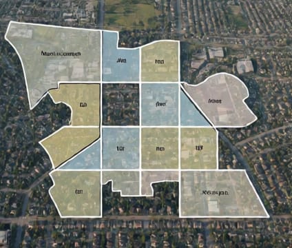
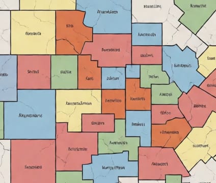
Core-Based Statistical Areas (CBSAs) are defined by the Office of Management and Budget using urban population nuclei and adjacent communities with high socioeconomic integration. CBSAs include metropolitan areas with at least 50,000 urban population and micropolitan areas with 10,000 to 49,999. These units reflect real-world functional regions more accurately than political boundaries, supporting analyses of commuting patterns, labor markets, and regional development.
Because CBSA definitions are updated after each decennial census and revised periodically, they ensure analytical consistency over time. Analysts can compare metropolitan areas across decades, track suburbanization trends, or study the evolution of economic specialization within urban zones. This standardization is critical for longitudinal research and interregional benchmarking.
The Census Bureau links CBSA boundaries to demographic and economic indicators via its Regional Data tools and TIGER/Line geographic products. Researchers can overlay CBSA-level data with census tracts or ZIP Code Tabulation Areas for deeper insights into intra-metropolitan inequality or housing affordability. CBSA-level data support regional planning, transportation investment, and disaster resilience strategies.