 census.com
Counties
Counties offer standardized administrative units for comparing population and economic data across states and regions.
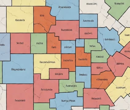
There are 3,144 counties and county equivalents in the United States, providing a consistent framework for data aggregation and comparison across states and territories. County-level statistics enable analysts to track long-term trends in employment, poverty, and migration relative to broader economic cycles. This level is crucial for policy benchmarking and identifying regional disparities that may require tailored interventions.
Because counties serve as the primary administrative subdivision in most states, federal and state programs frequently use county boundaries for program allocation, grant distribution, and eligibility criteria. Understanding county-level demographics helps officials assess program reach and effectiveness, especially where county responsibilities include health, education, and social services delivery.
The Census Bureau includes county equivalents—such as parishes in Louisiana, boroughs in Alaska, and municipios in Puerto Rico—ensuring consistent coverage across all U.S. jurisdictions. These equivalents follow the same geographic and statistical principles as counties, enabling seamless cross-jurisdictional analysis. Data are published annually via the American Community Survey and decennial counts.