 census.com
School District Boundaries
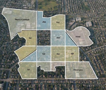
School district boundaries enable targeted demographic and educational outcome analysis aligned with operational school jurisdictions.
Public school districts in the U.S. operate as distinct governmental units, often overlapping or subdividing counties. The Census Bureau provides school district boundaries as part of its geographic products, allowing users to join demographic and socioeconomic data directly to district-level reporting units. This alignment is essential for evaluating equity in resource distribution, academic performance, or student population changes.
District-level analysis supports policy decisions about funding formulas, facility planning, and program implementation. For example, comparing poverty rates or English language learner proportions across districts can reveal systemic gaps. When working with local education agencies, researchers often need district-level estimates to validate findings or inform stakeholder engagement.
School district boundaries exist at multiple jurisdictional levels: elementary, secondary, and unified districts. Some districts span county lines, particularly in urbanized areas, requiring careful geographic crosswalks. The Census Bureau’s geospatial products include files for elementary and secondary districts, ensuring consistency with federal reporting under the No Child Left Behind Act and its successors.